
 Photograph unavailable
The Aegean coast cannot fit within a single horizon
Atlas coverage
80 stops, 5 coastal provinces.
Rather than listing beaches in isolation, the atlas connects sea, nature, harbours and cultural stops within one linked reading experience.
How to explore the Aegean coast
When you begin with a beach or bay, you can continue to nearby islands, wetlands, ancient harbours and historical cities. Records open into one another through district, region, period and narrative links.
Bays & beaches
Beaches, lagoons, bays and coastal walks.
- Akyaka Ancient İdima and Kadın Azmağı Crystal River
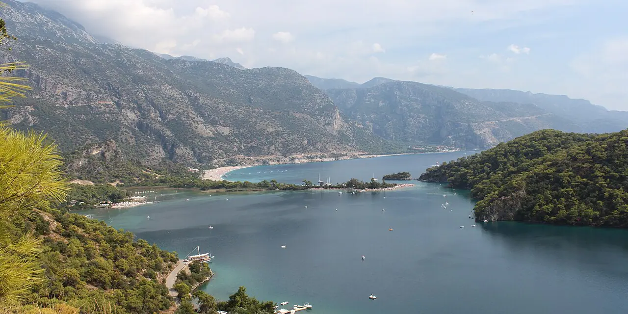
- Babadağ (Ancient Mount Kragos) and Ölüdeniz Lagoon
- Dikili Bademli, Kalem Island, and Ancient City of Kane
- Ortaca Dalyan Radar Hill Summit and İztuzu Caretta Caretta Habitat
- Palamutbükü Bay, Ancient Amphora Kilns, and Datça
- Urla Özbek Village Historic Stone Pier and Olive Mills
- Fethiye Afkule Cliffside Rock-Cut Monastery
- Caryanda Ancient City Birthplace of Admiral Scylax and Naval Harbor
- Adramytteion: layers of the gulf
- Altınoluk Papazlık Village and Abdullah Efendi Mansion
- Ayazma Beach
- Aydıncık (Kefalos) Beach
- Kadırga Bay
- Sarımsaklı Beaches
- Badavut Beach
- Delikli Bay
- Demircili Beach
- İçmeler Bay, Dilek Peninsula
- Altınkum Beach
- Kabak Bay
- Butterfly Valley
- Sarsala Bay
- Sivrice Bay
- Sokakağzı Bay
- Akçay Coast
- Güre Coast
- Çuğra Beach
- Ilıca Public Beach
- Pırlanta Beach
- Pamucak Coast
- Ladies Beach
- Sevgi Beach
- Tavşanburnu Nature Park
- Çalış Beach
- Akvaryum Bay
- Gizli Liman
- Ören Beach
- Altınova Coast
- Killik Bay
- Büyük Akkum Beach
- Manastır Bay
- Akbük Public Beach
- Katrancı Bay Nature Park
- Günlüklü Bay
- Sarıgerme Beach
- Karadere–Kumluova Beach
Islands & peninsulas
Island life, straits and open-sea thresholds.
Deltas & wetlands
River mouths, lagoons, lakes and bird habitats.
Mountains & canyons
Mountain, forest and valley systems shaping the coast.
Coastal memory
Harbours, piers and historical cities built around the sea.
- Urla Quarantine Island 1865 Ottoman Quarantine Station and Klazomenai
- Ancient City of Erythrai and Ildırı Theater
- Ancient City of Teos and Sığacık
- Ancient City of Phokaia and Eski Foça
- Ancient City of Iasos and Fish Market Museum
- Ancient City of Knidos
- Urban layers of Halicarnassus
- Ancient City of Cyzicus (Kyzikos)
- Priapos (Karabiga) Coastal Fortress and Wine Dock
- Assos: coastal acropolis
- Ancient City and Roman Harbour of Alexandria Troas
- Ancient City of Miletus
- Ancient City of Priene
- Çandarlı Castle, Ancient Pitane, and Çandarlı
- Ancient City of Kyme and Nemrut Bay
- Menemen Panaztepe 2500 BCE Bronze Age Harbor City and Necropolis
- Ancient City of Klazomenai and Urla İskele
- Ancient City of Parion and Roman Odeon
- Kilitbahir Fortress, Ancient Sestos, and Eceabat
- Ayvacık Gülpınar Smintheion Temple of Apollo Smintheus
- Ancient City of Bargylia and Artemis Kindyas Temple
- Ancient City of Keramos and Kurşunlu Yapı
Live Aegean map
Atlas stops with known locations appear on the map; you can also read stops without coordinates on this page. You can display beach, bay, island, wetland, lake, river, mountain, canyon and coastal-heritage layers together or separately on the live map.
Frequently asked questions
What does the Aegean Sea & Nature Atlas cover?
The atlas currently connects 80 sourced stops across 5 coastal provinces through collections for beaches, bays, islands, wetlands, mountains and coastal heritage.
Are the map layers available?
Yes. The live Aegean map lets you open beach, bay, island, wetland, lake, river, mountain, canyon, coastal-heritage, culture, city and region layers separately or together.
Can I connect beaches with historical places?
Yes. Every coastal record opens its place dossier, where you can continue to cultural stops within the same district, region, period and narrative.