
Kaz Dağları
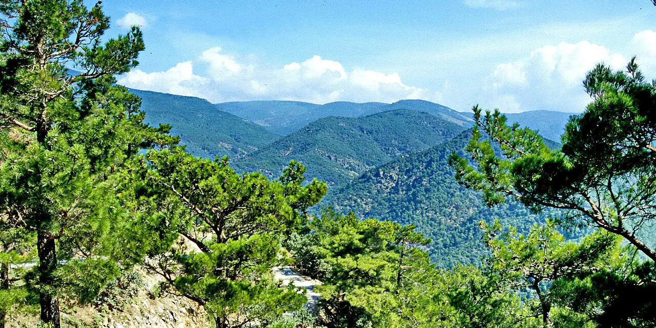
A mountain landscape in southern Biga Peninsula joining water, forest, legend and coastal passages.
 Photograph unavailable
Balıkesir · Mountain and water landscape
A threshold between mountain and coast
Homer's 'thousand-springed Mount Ida' towers above the Gulf of Edremit with lush forests, deep river canyons and tumbling cascades, forming the richest ecosystem in the northern Aegean.
From the Iliad to Sarıkız
From the Altar of Zeus where gods watched the Trojan War to the Turkmen folklore of Sarıkız, this mountain remains a sacred peak where myth and living memory entwine.
Water, shade, passage
Ancient Antandros rests among olive groves at its foot, while icy mountain streams nourish coastal villages and fertile orchards below.
The national park as a living area
Şahindere Canyon and Hasanboğuldu pool offer hikers an exceptional sanctuary where Mediterranean and Black Sea botanical worlds meet.
Mount Ida of a thousand springs
Homer's 'thousand-springed Mount Ida' cradles the Gulf of Edremit with dense pine forests, crystal mountain canyons and timeless folklore. Along its coast, Antandros and Assos trace the meeting of mountain peaks and Aegean waves.
Layers of the place
How is the place situated?
The official definition bounds the park within 21,450 hectares on the southern Biga Peninsula, extending from the Zeytinli stream and west of Altınoluk toward the summit. Karataş Peak is given as the mountain mass's highest point at 1,774 metres; this park boundary is not the whole geography of Mount Ida.
How do the layers change?
The area was declared a national park on 17 April 1993. The date marks an administrative threshold at which natural values entered a protection regime, not the beginning of the mountain; older settlement, myth and oral-memory layers are not proven by this source.
How was the place inhabited?
Valleys and canyons cutting north to south through the mountain produce varied climatic conditions, while forest and water ecosystems diversify with that topography. The park should be read not only as a summit view but as a sensitive coexistence of water, plants, animals and human movement.
What can be said today?
The national park is a living area under current conservation and visitor management. Because entrance, facility or activity information on the official page can change, this record makes no permanent access promise; field conditions must be checked through dated institutional notices.
Connected stops
Stories that include this stop
Sources
Frequently asked questions
Where is Kaz Dağları?
Kaz Dağları is presented in this guide as a mountain and water landscape in Balıkesir.
How can I find sources for Kaz Dağları?
The Sources section links to the evidence supporting this dossier.