
 Photograph unavailable
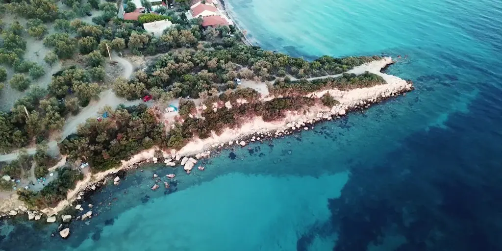
Killik Bay
Reading the place
Not one monument, but a layered setting.
Killik Bay connects Bademli's small-cove geography with Kalem Island and the long coastal memory of Çandarlı/Pitane.
İzmir · dikili
Place
Killik Bay is located in the [Dikili](/en/district/izmir/dikili) district of [İzmir](/en/province/izmir), set within a distinctive landscape that can be explored via the [Culture Map](/en/harita?q=Killik%20Bay).
Time
Historically functioning as a natural maritime anchorage along Aegean coastal trade routes, the waters and shores here have supported seafaring and fishing communities for centuries.
Community
Coastal life moves to the rhythm of early morning fishing boats, seaside promenades, and traditional seafood tavernas highlighting regional olive oil gastronomy.
Today
Today, Killik Bay stands as a protected heritage destination, welcoming travelers who seek to experience the enduring spirit and layered memory of Western Anatolia.
Periods
- The Aegean today