
 Photograph unavailable
Menderes and marble
In brief
Menderes and marble
From Miletus through Aphrodisias and Pamukkale to Knidos, this Southern Aegean line joins river basins, marble production and coastal cities in one narrative.
What holds this line together?
At Miletus, alluvium reshaped a gulf and its harbours; Aphrodisias tied local marble to sculpture; Hierapolis grew around thermal springs; Knidos organized its peninsula around two harbours. Together, these places show water and material shaping urban form in different ways. Their shared frame is the Southern Aegean, not a single ancient itinerary.
Three geographic readings
Water and shoreline memory at Miletus
01 · The delta
Archaic Miletus stood on a peninsula reaching into the Latmos Gulf. Sediment from the Büyük Menderes began filling the gulf and Miletus’s harbours in the fourth and third centuries BCE; from the Middle Ages, the city lost direct access to the sea. That long change redraws the relationship between harbour, river and settlement. It does not explain the city’s whole history, nor did every harbour close at once.
From Aphrodisias to the thermal Lycus
02 · Inland valleys
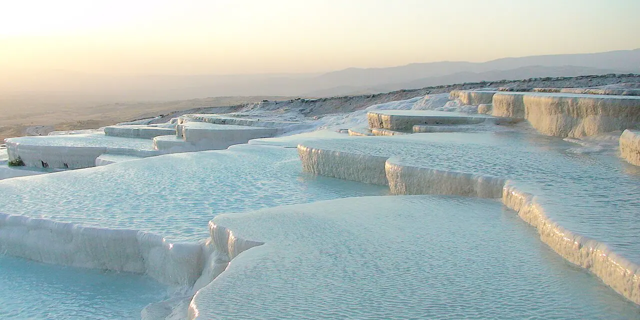
At Aphrodisias, UNESCO treats the walled city and the quarries to its northeast as one property. Local marble fed sculptural production, and Aphrodisian sculptors were known across the Roman Empire. At Hierapolis-Pamukkale, another material is at work: calcite-rich waters built the travertine terraces, and the Attalids founded Hierapolis as a thermal centre in the late second century BCE. Stone and spring water shaped different places; they are not one production network.
Knidos at a two-sea threshold
03 · The Carian coast
Knidos climbs in terraces from shore to acropolis. Between Cape Krio and the mainland, two coves held separate harbours: the western served warships, the eastern merchant vessels. Their distinct uses make the city’s coastal form legible. Read beside Miletus’s changing gulf, Knidos offers another relation between water and settlement, without implying a shared route or a single political landscape.
Connected place dossiers
1. Miletos
Aydın · River-mouth city
A harbour-and-road story whose shore changed with Menderes alluvium.
2. Aphrodisias
Aydın · City of marble
A production landscape to be considered with its city walls and quarries to the northeast.
3. Hierapolis-Pamukkale
Denizli · Nature and history
A landscape where travertines, thermal waters and the ancient city are protected together.
4. Knidos
Muğla · Peninsula harbour
A coastal settlement on the Datça peninsula facing two seas and maritime routes.
Layers of time
Stories that expand this route
Planning boundary
Open the Culture Map to see representative locations for the four stops. Its points do not separately locate the ancient harbours or Aphrodisias’s quarries, and they do not draw an ancient or present-day itinerary.
Frequently asked questions
How many stops does this route connect?
It connects 4 place narratives in one cultural reading. Open each stop card to read that place’s story.
How many stops appear on the map?
4 of the 4 stops appear on the Culture Map. The map link opens these stops together.
Is the stop order a travel itinerary?
The order helps you compare layers at different places. It serves as a reading sequence rather than directions or a visit schedule.
How can I continue reading?
Follow stop cards to place narratives, period links to the timeline and related stories to long reads.