
 Photograph unavailable
From Miletus to Didyma, the course of water
Story in brief
Place, time and memory on one line.
The long time of a river mouth, sacred road and a harbour city whose shore shifted.
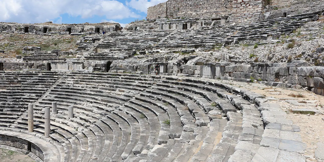
Where the Büyük Menderes River meets the Aegean, history is recorded in shifting coastlines. Once a seafaring powerhouse with four vibrant harbours, Miletus now sits landlocked amid cotton fields due to centuries of river silt. To the east, what was once a deep maritime gulf was severed by alluvium to form mystical Lake Bafa (Latmos).
From Miletus, a 20-kilometer stone-paved Sacred Way led pilgrims directly to the colossal columns and oracle chamber of the Temple of Apollo at Didyma. Paired with the dramatic terraces of Priene, this landscape shows how nature and sacred geography shaped the Ionian mind.
Stops in this story
Paths opening from this story
- Open out from Didyma to Panionion: After reading the geography of belief along Miletus-Didyma, continue to Panionion. The shared site on Mycale’s slopes brings the Ionian cities together on another scale: through assembly, festival and sea passage.
Panionion · Ionia’s renewed voice at Mycale
Sources
Frequently asked questions
How are the stops in this story connected?
From Miletus to Didyma, the course of water reads Miletos, Didyma, Priene, Bafa Gölü, Söke together not as one mandatory itinerary, but through a shared region, period, landscape or sourced historical relationship.
Where can I see this story's sources?
The Sources section visibly lists the institutional and research links supporting this narrative. Current visitor information is added only when confirmed by a dated authoritative source.