
 Photograph unavailable
Caria's network of water and sacred roads
Story in brief
Place, time and memory on one line.
A geography from sea to lake at Bafa, the sacred road from Milas to Labraunda, and Euromos's inscribed columns.
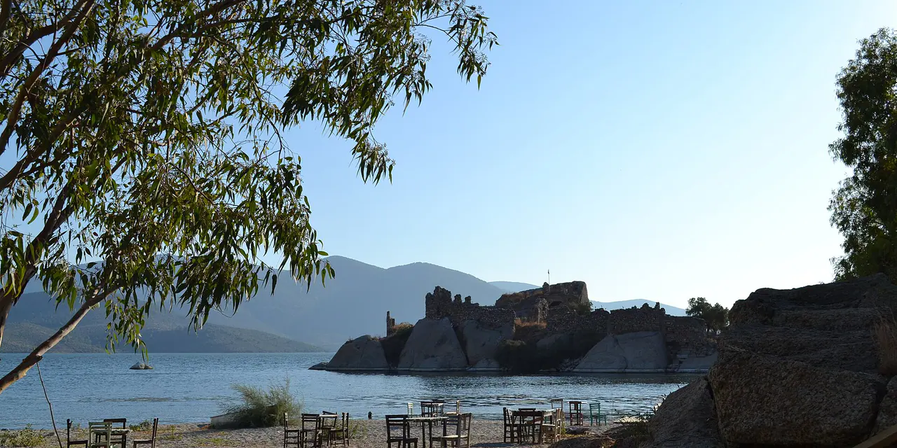
In the heart of ancient Caria, rugged nature and sacred architecture merge so seamlessly that sanctuaries feel like natural extensions of the peaks. Nestled beside Lake Bafa among wind-sculpted granite boulders, Herakleia-Latmos was once an open Aegean gulf cut off from the sea by river silt. Its 8,000-year-old prehistoric rock paintings and Temple of Athena gaze peacefully across the water.
Heading south through the plains of Milas leads up into the crags of Labraunda, the mountain sanctuary of Zeus Labraundos, famed for its spring-fed banqueting halls and royal terraces. Nearby, Euromos showcases the remarkably preserved Temple of Zeus Lepsynos, sixteen Corinthian columns standing proud amid silver olive groves. This Carian circuit is an enchanting open-air cathedral of stone, water and sacred heights.
Stops in this story
Paths opening from this story
- Continue from Milas's urban layers toward Labraunda: Climbing the olive-fringed mountain way from Milas brings you to Labraunda's craggy terraces and sanctuary of Zeus, moving from bustling streets into mountain stillness.
Milas · From Mylasa to Labraunda: the threshold of city and mountain
Sources
Frequently asked questions
How are the stops in this story connected?
Caria's network of water and sacred roads reads Herakleia Latmos, Labraunda, Euromos, Milas, Stratonikeia, Lagina together not as one mandatory itinerary, but through a shared region, period, landscape or sourced historical relationship.
Where can I see this story's sources?
The Sources section visibly lists the institutional and research links supporting this narrative. Current visitor information is added only when confirmed by a dated authoritative source.