
Gelibolu Tarihî Alanı
A 33,500-hectare historic area shaped by a campaign, a memorial and changing systems of protection.
 Photograph unavailable
Çanakkale · Battle and memorial landscape
From naval action to land campaign
The campaign in the Dardanelles cannot be reduced to a single day. On 18 March 1915, the fleet failed to pass through the strait; a land campaign began on the peninsula on 25 April. The dates mark separate phases of the conflict.
The front closes at Seddülbahir
The Dardanelles front closed when Seddülbahir was evacuated on 9 January 1916. The memorials and protection framework on the peninsula belong to later chapters.
A design selected from 37 entries
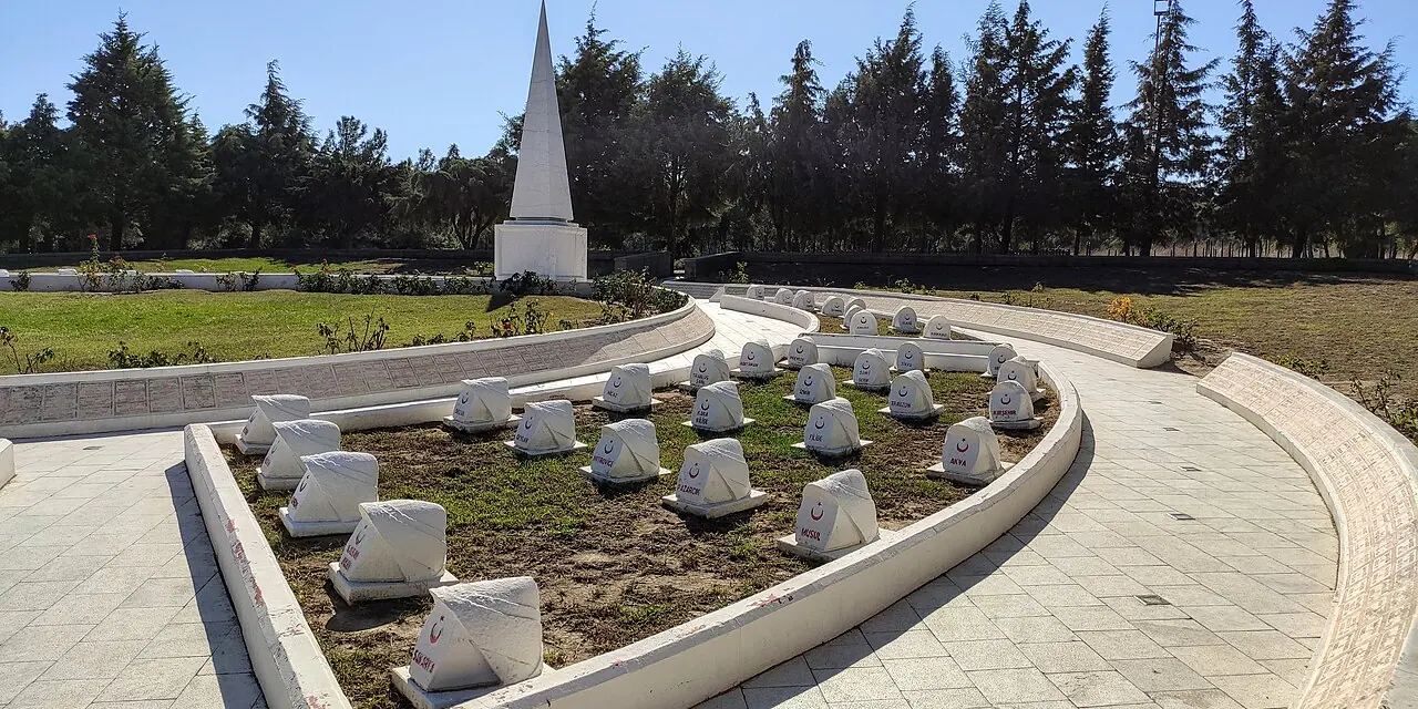
The foundation of the Çanakkale Martyrs' Memorial was laid at Eskihisarlık Point on 17 April 1954; it opened on 21 August 1960. A design by Doğan Erginbaş, İsmail Utkular and Feridun Kip was selected from 37 competition entries. The memorial represents Turkish soldiers killed in the Dardanelles campaign.
From national park to Historic Area
The peninsula became a national park on 2 November 1973. In June 2014, Law No. 6546 removed that status and established the Gallipoli Historical Area Presidency; the area is defined as 33,500 hectares. The memorial's story continues in From Front to Memorial Landscape.
The battle remembered in stone
At the Abide's base, reliefs depict moments from the fighting. The scenes hold the campaign in stone on a memorial raised decades after the front had closed.
Connected stops
Stories that include this stop
Sources
Frequently asked questions
Where is Gelibolu Tarihî Alanı?
Gelibolu Tarihî Alanı is presented in this guide as a battle and memorial landscape in Çanakkale.
How can I find sources for Gelibolu Tarihî Alanı?
The Sources section links to the evidence supporting this dossier.