
Kaunos
Kaunos on the Dalyan River, carrying rock tombs and an inland harbour in one landscape.
 Photograph unavailable
Muğla · River and harbour city
From a closable harbour to an inland coast
Rising on the western bank of the Dalyan River connecting Lake Köyceğiz to the sea, Kaunos commanded a closable harbour and ancient naval docks, gradually left inland as alluvium transformed the delta.
On the frontier of Caria and Lycia
Occupying the historic frontier between Caria and Lycia, the Kaunians maintained distinct cultural customs and prospered through lucrative salt pans, dried fig exports and Mediterranean trade.
Rock-cut temple tombs in sheer cliffs
Carved into sheer river bluffs, the famous rock-cut chamber tombs with Ionic temple façades were crafted for Kaunian dynasts, creating one of the Aegean's most breathtaking sights.
Theatre, basilica and İztuzu Beach
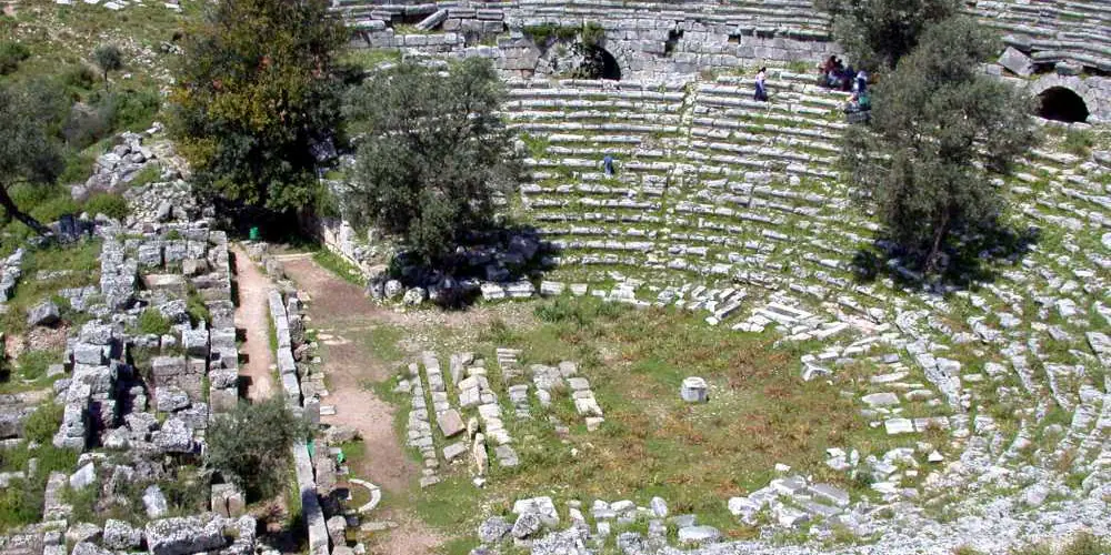
Approached by boat through labyrinthine reeds, Kaunos pairs its Roman theatre and agora with sea-turtle nesting beaches at İztuzu, linking naturally with Knidos and Stratonikeia.
Dalyan reeds and rock-cut royal tombs
Accessible by wooden boats through the labyrinthine reeds of the Dalyan Delta, Kaunos astonishes with sheer cliffside royal tombs, a mountaintop acropolis and an ancient theatre overlooking the estuary. Sitting at the borders of Caria and Lycia, it joins Knidos and Stratonikeia in a breathtaking convergence of nature and history.
Layers of the place
How is the place situated?
The official source places Kaunos on the western bank of the Dalyan River, which connects Lake Köyceğiz to the Mediterranean, within the boundaries of Çandır. The rock tombs, acropolis, theatre and former harbour around Sülüklü Lake are connected but need separate map nodes.
How do the layers change?
Known in an ancient account for a closable harbour and shipyards, Kaunos now stands inland from the coast. The theatre, baths, temples, basilica and stoa carry different functions and periods; the city cannot be reduced to one building phase.
How was the place inhabited?
The harbour, shipyards, stoa and civic buildings indicate settings for movement, production, assembly and representation. The large Ionic temple-facade rock tombs make elite funerary architecture visible, while the source does not identify every tomb owner or quantify harbour capacity by period.
What can be said today?
Kaunos has been on UNESCO's Tentative List since 2014. That status is a conservation and interpretation context, not current visitor information; boat or road access, tickets, hours and excavation-area conditions must be checked through dated official sources.
Connected stops
Stories that include this stop
Sources
Frequently asked questions
Where is Kaunos?
Kaunos is presented in this guide as a river and harbour city in Muğla.
How can I find sources for Kaunos?
The Sources section links to the evidence supporting this dossier.